
GIS Web Map Disclaimer
By clicking on any of the links related to web maps accessible through this page you are accepting our Terms of Use. For the full text see Disclaimer and Terms of Use.
GIS Whistler Map
The interactive GIS Whistler Map, for desktop or mobile, is your portal for accessing the Resort Municipality of Whistler’s numerous layers of data and property information. The site provides users with enhanced tools for engaging with the community’s spatial information.
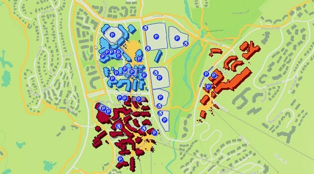
Parking Map
Whether you are a resident or visitor, the RMOW’s Interactive Parking Web Map is your tool for finding parking that meets your needs. Use the pre-defined filters on findparking.whistler.ca to find parking choices and the driving directions widget to direct you to your preferred parking lot.
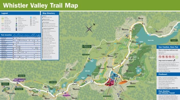
Valley Trail maps
Use the Valley Trail maps to plan your hiking, biking, cross country skiing or snowshoeing route and check trail conditions in the winter. Take advantage of the RMOW’s signature trail system that runs from Function Junction to Emerald Estates. Find out more about the Valley Trail.
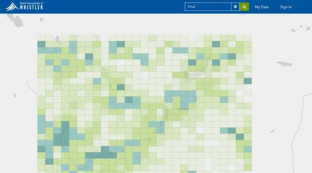
Open Data Portal
The GIS Open Data Portal is your gateway to access the RMOW’s free-to-use public spatial data. The goal of the site is to drive innovation and increase citizen engagement by providing users with the ability to view, analyze and download any of the publically available layers. Complete the survey to tell us which data you are looking to download.
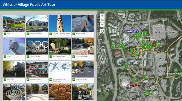
Whistler Village maps
Explore Whistler Village on foot! Find your way around using the Village Pedestrian map or discover various pieces of public art on display using the Public Art Story Map. Take a virtual tour from your desktop or mobile device, or use the story map as a complementary guide when touring the pieces in-person.
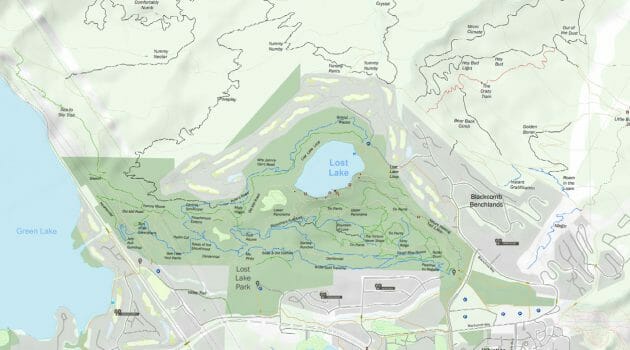
Recreation Trail Maps
Looking for adventure? From spectacular mountain tops to treed valleys, there is no shortage of scenic hiking and biking trails in Whistler to choose from.
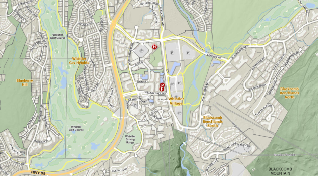
Tourism Whistler’s Interactive Accommodation Map
The Interactive Whistler Map makes it easy to find properties location and listings, parking and gondolas throughout Whistler.