More than 50 km of Valley Trail connects Whistler Village with surrounding parks and neighborhoods. New sections are continually being added with the goal of providing seamless travel from one end of Whistler to the other, including every neighborhood, park, and amenity. Some sections are lit at night, while others are not.
It is the perfect alternative to car-travel or the perfect way to spend a day exploring. During winter months, when conditions permit, some sections are maintained for cross-country skiing.
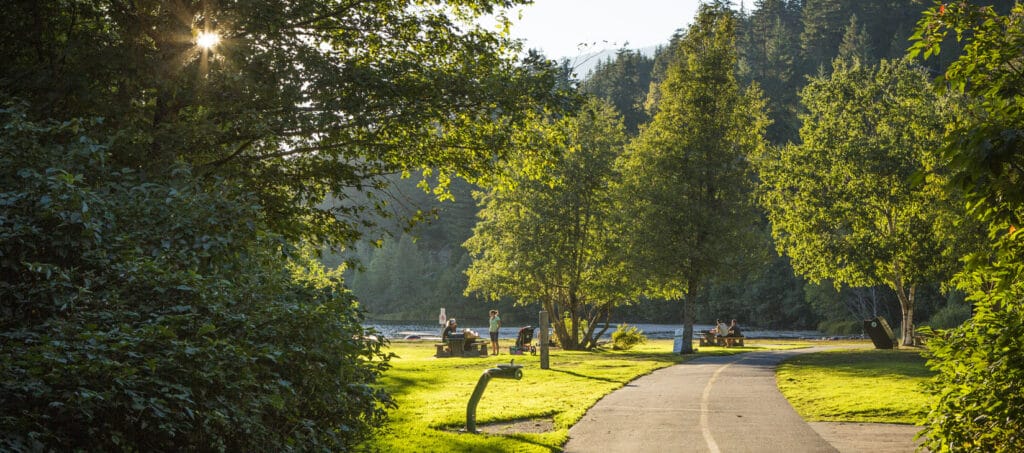
Using the Valley Trail
The Valley Trail is a paved shared use trail. Some gaps exist in the network, so please check the map to plan your trips.
- Always share the trail. Give other users lots of space and avoid blocking the trail.
- Dogs and pets must be leashed.
- Take care on the trail during the winter months, as sections can be slippery or covered with snow and ice at times
Lighted sections (year-round)
Lighted sections of the Valley Trail include:
- White Gold to Whistler Village
- Cheakamus Crossing to Spring Creek to Creekside
- Millar Creek section from Function Junction to Alta Lake Road
- Lakeside Road to Blueberry Drive to Whistler Village
- Whistler Village to Spruce Grove neighborhood and park
- Whistler Village to Nesters to Meadow Park Sports Centre to Alpine Meadows to Whistler Secondary Community School to Rainbow Neighborhood
- Whistler Village to Myrtle Philip Community School and bottom of Lorimer Road
Winter snow clearing
Roughly 38 km of Valley Trail is maintained through the winter for walking, biking and general use. The 3.8 km section from Meadow Park Sports Centre to Rainbow Park is groomed through the winter months for pet-friendly cross-country skiing, conditions permitting.
- Whistler Village and the elementary school routes are the highest priority for snow clearing, and other trails may be delayed. View the winter Valley Trail map for details on winter maintenance.
- The Nesters Crossing section of the Valley Trail offers a lit, snow-cleared route on the Valley Trail from Rainbow Neighbourhood to the Village. The trail portion from Whistler Community Secondary School to Emerald Estates is closed November to April.
When there’s enough snow, the Valley Trail is groomed for multi-use activities in the following sections:
- Rainbow Park to Meadow Park Sports Centre
- From Fitzsimmons Trail to PassivHaus
- Riverside Campground dyke at Mons Road along Green Lake at Nicklaus North to Alpine Way
The Valley Trail is winter maintained as resources permit in the following sections:
- Loop at Bayly Park
- Snowflake Park from Bishop Way to Palmer Drive
- Kirkpatrick Way at the Spruce Grove Park entrance heading northeast to Mons Road
Sea to Sky Trail and Trans Canada Trail connections
The Sea to Sky Trail connects the Sea to Sky Corridor from Squamish to Pemberton, with new sections being added all the time. The Sea to Sky Trail is a recognized part of the Trans Canada Trail. For more information, visit The Great Trail.
Report an issue
If there’s a safety issue related to the Valley Trail, such as a downed tree, lights not working, broken glass, dangerous wildlife, or any other kind of hazard, please contact parks@whistler.ca.